
SERVICES / SITE INTELLIGENCE
SITE INTELLIGENCE.
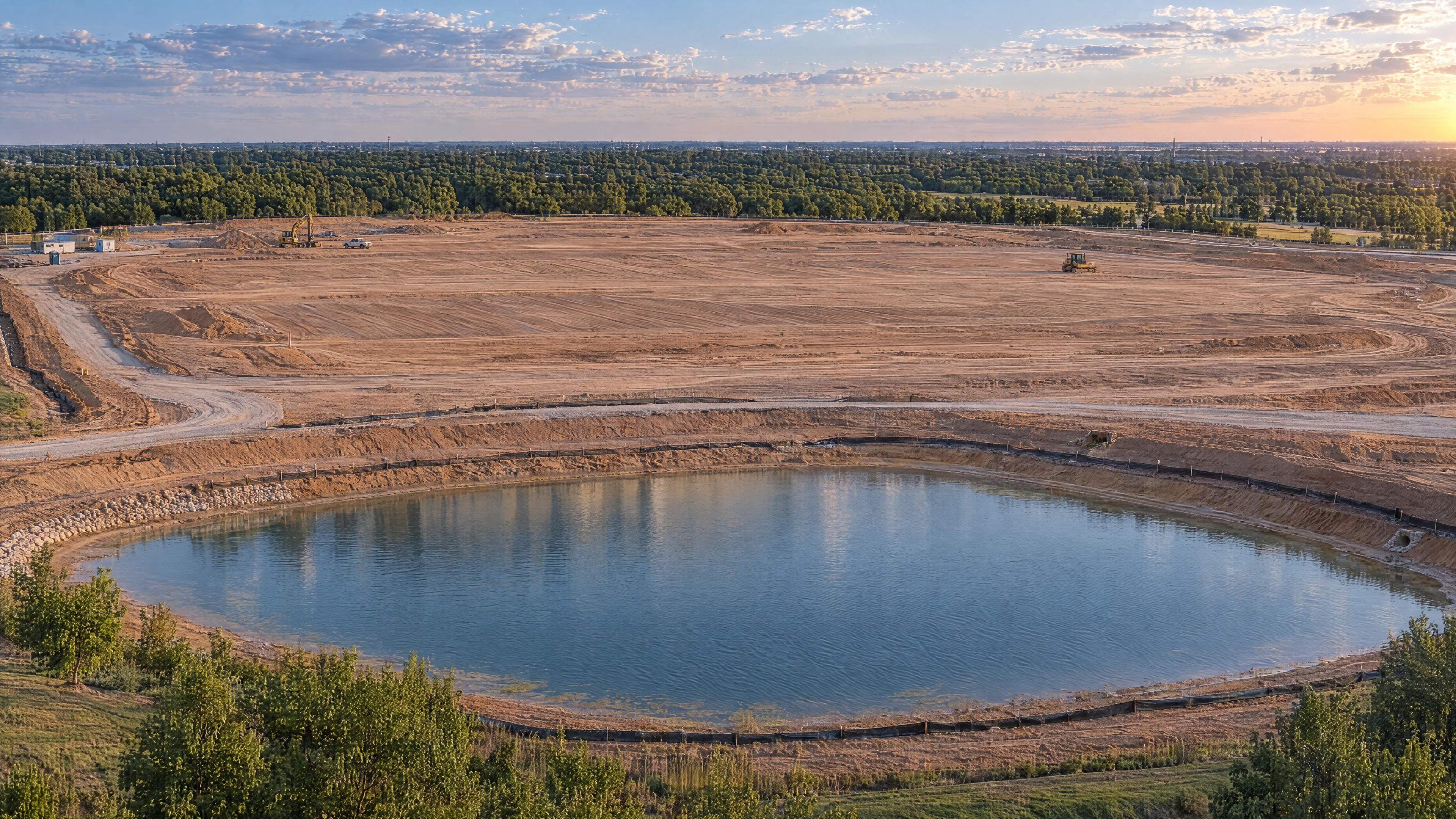
A clearer view of existing conditions. A practical way to measure, plan and share what is happening on the ground.
WHAT IT MAKES POSSIBLE
Make the site measurable.
For development planning, earthwork quantities, existing-condition records and project teams who need a shared view of the site.
CAPTURE & DELIVERABLES
- Aerial mapping & orthomosaics
- Site measurements
- Elevation & contour data
- Stockpile volumes & cut/fill
- RTK-enabled data capture
Deliverables are provided in the format established for the project. Accuracy and delivery timing are defined during scoping.
PROJECT-SPECIFIC SCOPE
Starting around $600 for mapping; $850 for site intelligence with measurements.
Acreage, accuracy, processing, deliverables, access and travel influence the final price.
PRICING DETAILS ↗A FEW USEFUL ANSWERS
What can we measure?
Depending on capture and processing scope, deliverables can support distance, area, elevation and volume measurements. We establish the appropriate accuracy and validation during scoping.
Can you calculate stockpile volumes?
Stockpile and volume analysis is available. Site access, pile geometry, base conditions and the required deliverable inform the scope. Starting guidance is around $750.
Is this a land survey?
TrigonAerial provides aerial mapping and site data. We do not provide licensed land surveying services.
YOUR NEXT PROJECT