
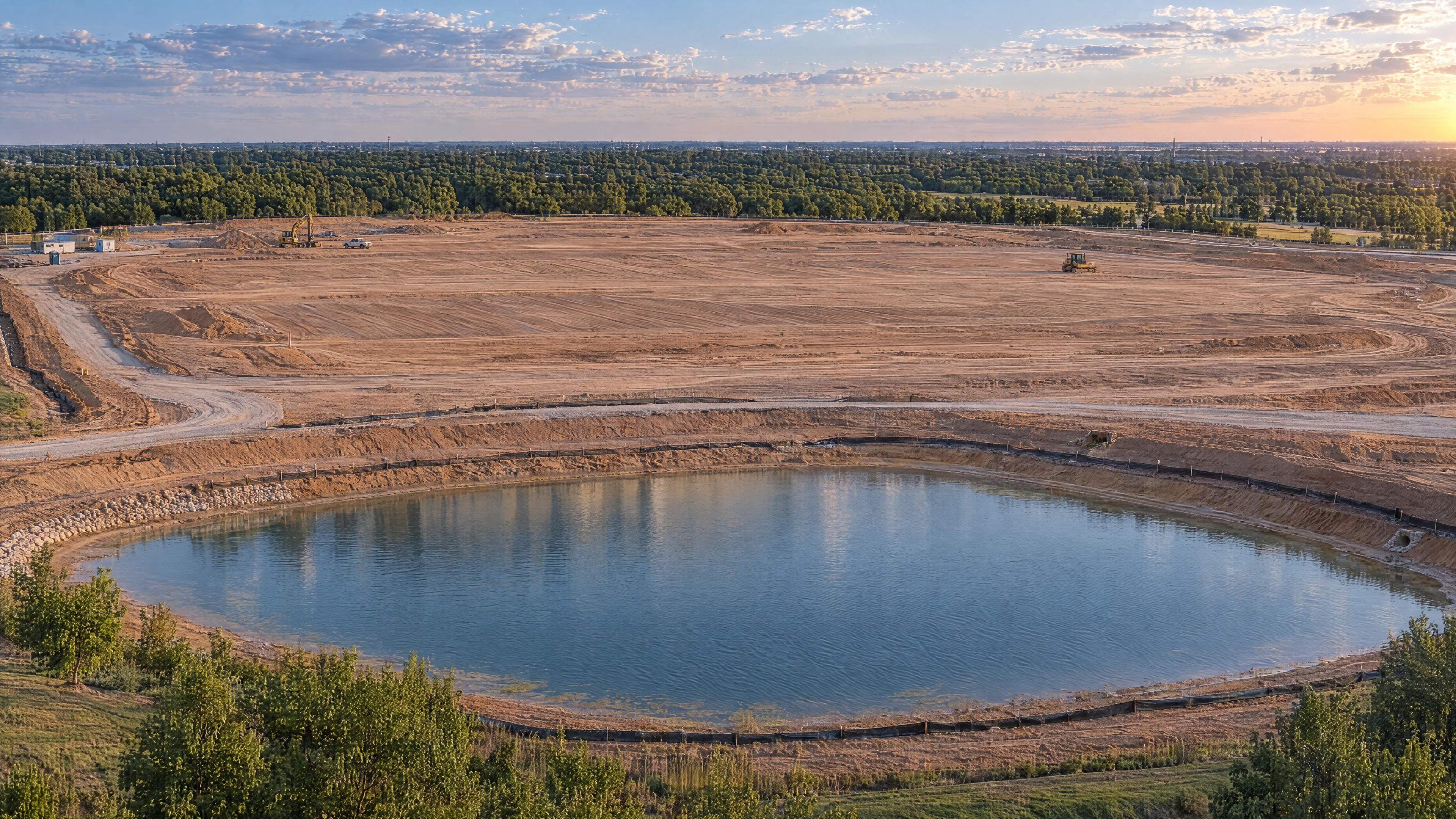
What it is
Overlapping aerial imagery provides the source material for a digital view of a site. The capture plan and processing scope determine what can be produced from it.
What you receive
A project may call for an orthomosaic, measurements, a point cloud, a 3D model, stockpile volumes or a recurring visual record. The deliverables should follow the problem you are trying to solve.
What your team can do with it
Review conditions remotely. Share progress with owners. Document milestones. Examine quantities. Keep a visual record of the site as work moves forward.
What it costs
Site mapping starts around $600, and site intelligence with measurements starts around $850. Acreage, accuracy requirements, processing and deliverables influence the final scope.
SEE STARTING PRICES ↗How long it takes
Capture and processing time depend on the project. We establish the expected delivery timeframe when we quote the work.
Start with the outcome
You do not need to choose the technical deliverable first. Tell us what your team needs to understand, measure or document. We will help plan the mission.